
Fichièr:Beaufortzee.PNG
Pas de resolucion mai nauta de disponibla.
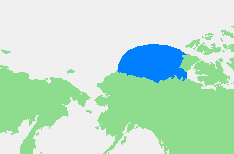
Beaufortzee.PNG (747 × 492 pixèl, talha del fichièr: 16 Ko, tipe MIME: image/png)
| Aqueste fichièr proven de Wikimedia Commons?. Las informacions que lo concernisson son afichadas çaijós (procedura). |
| Descripcion | Beaufortzee / Beaufort Sea | ||||
| Font | Trabalh personal | ||||
| Autor | edited by M.Minderhoud | ||||
| Permission (Reütilizacion d'aqueste fichièr) |
|
Istoric del fichièr
Clicar sus una data e una ora per veire lo fichièr tal coma èra a aqueste moment
| Data e ora | Miniatura | Dimensions | Utilizaire | Comentari | |
|---|---|---|---|---|---|
| actual | 3 novembre de 2006 a 19.13 | | 747×492 (16 Ko) | Michiel1972 | {{Information |Description= {{subst:PAGENAME}} |Source= |Date= |Author= edited by M.Minderhoud |Permission= {{PD-Demis}} |other_versions= }} Category:Locator maps of seas |
Paginas que contenon lo fichièr
I a ges de pagina que compòrta un ligam vèrs aqueste imatge.
Usatge global del fichièr
Los autres wikis seguents utilizan aqueste imatge :
- Utilizacion sus af.wikipedia.org
- Utilizacion sus an.wikipedia.org
- Utilizacion sus ar.wikipedia.org
- Utilizacion sus ast.wikipedia.org
- Utilizacion sus avk.wikipedia.org
- Utilizacion sus azb.wikipedia.org
- Utilizacion sus bg.wikipedia.org
- Utilizacion sus bn.wikipedia.org
- Utilizacion sus br.wikipedia.org
- Utilizacion sus bs.wikipedia.org
- Utilizacion sus ca.wikipedia.org
- Utilizacion sus de.wikipedia.org
- Utilizacion sus el.wikipedia.org
- Utilizacion sus en.wikipedia.org
- Utilizacion sus eo.wikipedia.org
- Utilizacion sus es.wikipedia.org
- Utilizacion sus fa.wikipedia.org
- Utilizacion sus fi.wikipedia.org
- Utilizacion sus fr.wikipedia.org
- Utilizacion sus fy.wikipedia.org
- Utilizacion sus gl.wikipedia.org
- Utilizacion sus hr.wikipedia.org
- Utilizacion sus hu.wikipedia.org
- Utilizacion sus hy.wikipedia.org
- Utilizacion sus ia.wikipedia.org
- Utilizacion sus id.wikipedia.org
- Utilizacion sus ilo.wikipedia.org
- Utilizacion sus is.wikipedia.org
- Utilizacion sus ka.wikipedia.org
- Utilizacion sus kbd.wikipedia.org
- Utilizacion sus ky.wikipedia.org
- Utilizacion sus la.wikipedia.org
- Utilizacion sus li.wikipedia.org
- Utilizacion sus mk.wikipedia.org
- Utilizacion sus ml.wikipedia.org
- Utilizacion sus mn.wikipedia.org
- Utilizacion sus ms.wikipedia.org
- Utilizacion sus mzn.wikipedia.org
- Utilizacion sus nl.wikipedia.org
- Utilizacion sus pl.wikipedia.org
- Utilizacion sus pl.wiktionary.org
- Utilizacion sus pnb.wikipedia.org
- Utilizacion sus pt.wikipedia.org
- Utilizacion sus sc.wikipedia.org
- Utilizacion sus simple.wikipedia.org
Veire l'utilizacion globala d'aqueste fichièr.