
Fichièr:Mediterranean Sea location map.svg

Fichièr d'origina (Fichièr SVG, resolucion de 1 754 × 862 pixèls, talha : 1,19 Mo)
| Aqueste fichièr proven de Wikimedia Commons?. Las informacions que lo concernisson son afichadas çaijós (procedura). |
Descripcion
| Descripcion |
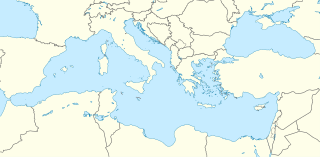
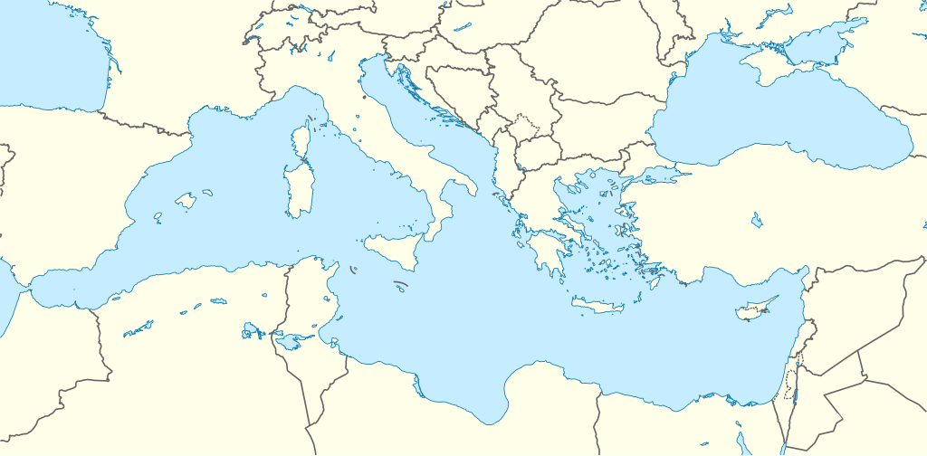
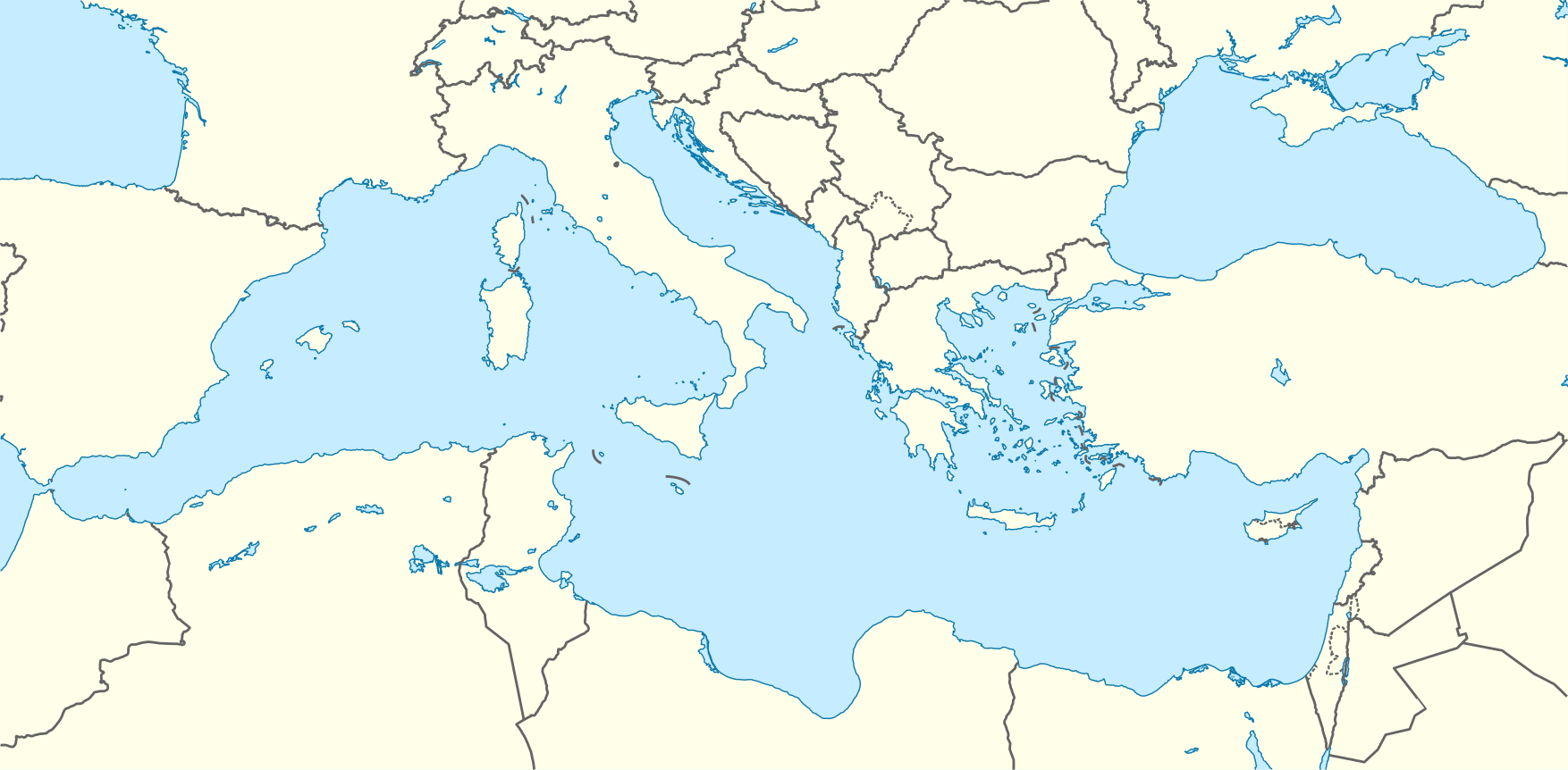
Deutsch: Positionskarte des Mittelmeers
Quadratische Plattkarte, N-S-Streckung 128 %. Geographische Begrenzung der Karte:
English: Location map of the Mediterranean Sea
Equirectangular projection, N/S stretching 128 %. Geographic limits of the map:
|
|
| Data | ||
| Font | Trabalh personal using World Data Base II data | |
| Autor | NordNordWest | |
| Permission (Reütilizacion d'aqueste fichièr) |
Aquest fitxer està publicat sota la llicència de Creative Commons Reconeixement i Compartir Igual 3.0 Alemanya.
 Aqueste fichièr es jos licéncia Creative Commons licéncia generica atribucion-partiment a l'identic 3.0
|
|
| Autras versions |
Derivative works of this file: |

.svg)

|
Cette carte a été créée ou améliorée dans le Kartenwerkstatt (Atelier cartographique allemand). Vous pouvez également y proposer des cartes à améliorer.
|
Istoric del fichièr
Clicar sus una data e una ora per veire lo fichièr tal coma èra a aqueste moment
| Data e ora | Miniatura | Dimensions | Utilizaire | Comentari | |
|---|---|---|---|---|---|
| actual | 8 setembre de 2010 a 08.58 | | 1 754×862 (1,19 Mo) | NordNordWest | =={{int:filedesc}}== {{Information |Description= {{de|Positionskarte des Mittelmeers}} Quadratische Plattkarte, N-S-Streckung 128 %. Geographische Begrenzung der Karte: * N: 48.0° N * S: 29.0° N * W: 7.0° W * O: 42.5° O {{en|Locatio |
Paginas que contenon lo fichièr
Las paginas çaijós compòrtan aqueste imatge :
Usatge global del fichièr
Los autres wikis seguents utilizan aqueste imatge :
- Utilizacion sus ar.wikipedia.org
- قائمة الدول المتوسطية
- قالب:خريطة مواقع البحر المتوسط
- ويكيبيديا:بوابة اليوم المختارة/يناير 2016
- قالب:بوابة اليوم المختارة/2016-01-03
- قالب:بوابة اليوم المختارة/2016-01-04
- ويكيبيديا:بوابة اليوم المختارة/مايو 2016
- قالب:بوابة اليوم المختارة/2016-05-13
- قالب:بوابة اليوم المختارة/2016-09-01
- ويكيبيديا:بوابة اليوم المختارة/سبتمبر 2016
- ويكيبيديا:بوابة اليوم المختارة/ديسمبر 2016
- قالب:بوابة اليوم المختارة/2016-12-27
- ويكيبيديا:بوابة اليوم المختارة/أبريل 2017
- قالب:بوابة اليوم المختارة/2017-04-23
- ويكيبيديا:بوابة اليوم المختارة/أغسطس 2017
- قالب:بوابة اليوم المختارة/2017-08-19
- ويكيبيديا:بوابة اليوم المختارة/ديسمبر 2017
- قالب:بوابة اليوم المختارة/2017-12-03
- ويكيبيديا:بوابة اليوم المختارة/يونيو 2018
- قالب:بوابة اليوم المختارة/2018-06-02
- ويكيبيديا:بوابة اليوم المختارة/أغسطس 2018
- قالب:بوابة اليوم المختارة/2018-08-15
- ويكيبيديا:بوابة اليوم المختارة/يناير 2019
- قالب:بوابة اليوم المختارة/2019-01-05
- ويكيبيديا:بوابة اليوم المختارة/مايو 2019
- قالب:بوابة اليوم المختارة/2019-05-16
- ويكيبيديا:بوابة اليوم المختارة/أكتوبر 2019
- قالب:بوابة اليوم المختارة/2019-10-03
- ويكيبيديا:بوابة اليوم المختارة/فبراير 2020
- قالب:بوابة اليوم المختارة/2020-02-05
- القوات الجوية السادسة عشرة
- ويكيبيديا:بوابة اليوم المختارة/يونيو 2020
- قالب:بوابة اليوم المختارة/2020-06-06
- ويكيبيديا:بوابة اليوم المختارة/أكتوبر 2020
- قالب:بوابة اليوم المختارة/2020-10-04
- ويكيبيديا:بوابة اليوم المختارة/فبراير 2021
- قالب:بوابة اليوم المختارة/2021-02-08
- ويكيبيديا:بوابة اليوم المختارة/يونيو 2021
- قالب:بوابة اليوم المختارة/2021-06-14
- ويكيبيديا:بوابة اليوم المختارة/أكتوبر 2021
- قالب:بوابة اليوم المختارة/2021-10-19
- ويكيبيديا:بوابة اليوم المختارة/فبراير 2022
- قالب:بوابة اليوم المختارة/2022-02-22
- ويكيبيديا:بوابة اليوم المختارة/يونيو 2022
- قالب:بوابة اليوم المختارة/2022-06-30
- ويكيبيديا:بوابة اليوم المختارة/نوفمبر 2022
- قالب:بوابة اليوم المختارة/2022-11-04
- ويكيبيديا:بوابة اليوم المختارة/مارس 2023
- قالب:بوابة اليوم المختارة/2023-03-12
- ويكيبيديا:بوابة اليوم المختارة/يوليو 2023
- قالب:بوابة اليوم المختارة/2023-07-19
Veire l'utilizacion globala d'aqueste fichièr.