
Fichièr:Locatie Middellandse Zee.PNG
Talha d'aquesta previsualizacion: 800 × 489 pixèls. Autras resolucions : 320 × 195 pixèls | 640 × 391 pixèls | 902 × 551 pixèls.
Fichièr d'origina (902 × 551 pixèl, talha del fichièr: 33 Ko, tipe MIME: image/png)
| Aqueste fichièr proven de Wikimedia Commons?. Las informacions que lo concernisson son afichadas çaijós (procedura). |
| Descripcion |
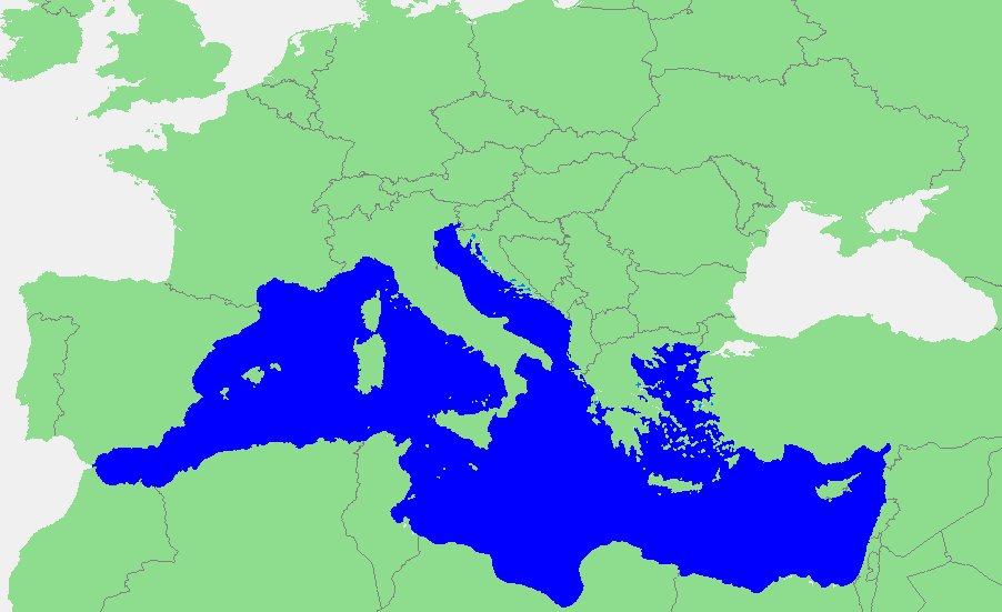
Nederlands: Locatie Middellandse Zee
中文:地中海地图 |
||||
| Font | own work based on PD map | ||||
| Autor | edited by M.Minderhoud | ||||
| Permission (Reütilizacion d'aqueste fichièr) |
|
Istoric del fichièr
Clicar sus una data e una ora per veire lo fichièr tal coma èra a aqueste moment
| Data e ora | Miniatura | Dimensions | Utilizaire | Comentari | |
|---|---|---|---|---|---|
| actual | 12 setembre de 2006 a 18.21 | | 902×551 (33 Ko) | Michiel1972 | {{Information |Description=In dutch: {{subst:PAGENAME}} |Source= own work based on PD map |Date= |Author= edited by M.Minderhoud |Permission= {{PD-Demis}} |other_versions= }} category:Locator maps of seas |
Paginas que contenon lo fichièr
La pagina çaijós compòrta aqueste imatge :
Usatge global del fichièr
Los autres wikis seguents utilizan aqueste imatge :
- Utilizacion sus ang.wikipedia.org
- Utilizacion sus an.wikipedia.org
- Utilizacion sus avk.wikipedia.org
- Utilizacion sus awa.wikipedia.org
- Utilizacion sus bat-smg.wikipedia.org
- Utilizacion sus be-tarask.wikipedia.org
- Utilizacion sus bm.wikipedia.org
- Utilizacion sus ca.wikipedia.org
- Utilizacion sus cbk-zam.wikipedia.org
- Utilizacion sus cdo.wikipedia.org
- Utilizacion sus ceb.wikipedia.org
- Utilizacion sus crh.wikipedia.org
- Utilizacion sus csb.wikipedia.org
- Utilizacion sus de.wikipedia.org
- Utilizacion sus el.wikipedia.org
- Utilizacion sus en.wikipedia.org
- Utilizacion sus eo.wikipedia.org
- Utilizacion sus es.wikipedia.org
- Utilizacion sus et.wikipedia.org
- Utilizacion sus fa.wikipedia.org
- Utilizacion sus fiu-vro.wikipedia.org
- Utilizacion sus fr.wikipedia.org
Veire l'utilizacion globala d'aqueste fichièr.