
Fichièr:Soldier Field Chicago aerial view.jpg

Talha d'aquesta previsualizacion: 753 × 599 pixèls. Autras resolucions : 302 × 240 pixèls | 603 × 480 pixèls | 965 × 768 pixèls | 1 280 × 1 019 pixèls | 1 500 × 1 194 pixèls.
Fichièr d'origina (1 500 × 1 194 pixèl, talha del fichièr: 606 Ko, tipe MIME: image/jpeg)
| Aqueste fichièr proven de Wikimedia Commons?. Las informacions que lo concernisson son afichadas çaijós (procedura). |
| Descripcion |
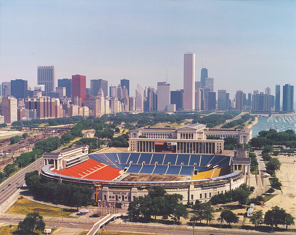
English: Aerial view of Soldier Field and the skyline of Chicago, Illinois, USA. |
|||
| Data | ||||
| Font |
U.S. Army Corps of Engineers Digital Visual Library Image page Image description page Digital Visual Library home page |
|||
| Autor | Dale Fisher, U.S. Army Corps of Engineers | |||
| Permission (Reütilizacion d'aqueste fichièr) |
|
|||
| Autras versions | ||||
| Localització | Chicago, Illinois, USA |
.jpg)
| Posició de la càmera | | Aquesta i altres imatges properes a: OpenStreetMap |
|---|
Istoric del fichièr
Clicar sus una data e una ora per veire lo fichièr tal coma èra a aqueste moment
| Data e ora | Miniatura | Dimensions | Utilizaire | Comentari | |
|---|---|---|---|---|---|
| actual | 1 abril de 2007 a 00.26 | | 1 500×1 194 (606 Ko) | DanMS | {{Information | Description = {{en|Aerial view of Soldier Field and the skyline of Chicago, Illinois, USA.}} | Source = U.S. Army Corps of Engineers Digital Visual Library<br />[http://images.usace.army.mil/images/Hires/LRE0016.jpg Image page]< |
Paginas que contenon lo fichièr
La pagina çaijós compòrta aqueste imatge :
Usatge global del fichièr
Los autres wikis seguents utilizan aqueste imatge :
- Utilizacion sus af.wikipedia.org
- Utilizacion sus als.wikipedia.org
- Utilizacion sus am.wikipedia.org
- Utilizacion sus ast.wikipedia.org
- Utilizacion sus bg.wikipedia.org
- Utilizacion sus bs.wikipedia.org
- Utilizacion sus ca.wikipedia.org
- Utilizacion sus de.wikipedia.org
- Utilizacion sus el.wikipedia.org
- Utilizacion sus en.wikipedia.org
- Utilizacion sus es.wikipedia.org
- Utilizacion sus fa.wikipedia.org
- Utilizacion sus fr.wikipedia.org
- Utilizacion sus fy.wikipedia.org
- Utilizacion sus he.wikipedia.org
- Utilizacion sus hi.wikipedia.org
- Utilizacion sus hu.wikipedia.org
- Utilizacion sus hy.wikipedia.org
- Utilizacion sus id.wikipedia.org
- Utilizacion sus it.wikipedia.org
- Utilizacion sus ja.wikipedia.org
- Utilizacion sus ka.wikipedia.org
- Utilizacion sus kn.wikipedia.org
- Utilizacion sus ko.wikipedia.org
Veire l'utilizacion globala d'aqueste fichièr.