
Fichièr:Punjab locator map.svg

Fichièr d'origina (Fichièr SVG, resolucion de 955 × 1 029 pixèls, talha : 174 Ko)
| Aqueste fichièr proven de Wikimedia Commons?. Las informacions que lo concernisson son afichadas çaijós (procedura). |

|
This file requires updating because: Newly-created Fazilka district needs to be accommodated In doing so, you could add a timestamp to the file.
|
| Títol |
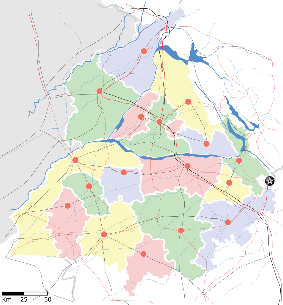
Punjab locator map |
||
| Descripció | |||
| Data | |||
| Font |
Trabalh personal |
||
| Creator |
|
||
| Permission (Reütilizacion d'aqueste fichièr) |
Ieu, autor d'aquesta òbra, publiqui jos la licéncia seguenta: Aqueste fichièr es jos licéncia Creative Commons licéncia generica atribucion-partiment a l'identic 3.0
|
||
| Données géotemporelles | |||
| Data representada | 2a meitat de segle xx i segle xxi | ||
| Géoréférencement | Si c'est inapproprié, définissez warp_status = skip pour masquer. | ||
| Données d'archives | |||
| Notes | Part of WikiProject India Maps | ||
derivative works
Derivative works of this file: Districts of Punjab, India.svg
Istoric del fichièr
Clicar sus una data e una ora per veire lo fichièr tal coma èra a aqueste moment
| Data e ora | Miniatura | Dimensions | Utilizaire | Comentari | |
|---|---|---|---|---|---|
| actual | 25 abril de 2007 a 18.27 | | 955×1 029 (174 Ko) | Planemad | reupload, forgot crop |
| 25 abril de 2007 a 18.25 |  | 2 393×1 956 (188 Ko) | Planemad | {{WikiProject_India_Maps |Title=Punjab locator map |Description=Locator map of the state of w:Punjab, India with district boundaries, major highways, railways and water bodies. |Source=[www.punjabtourism.org/tt_maps.php Punjab Tourism - Ma |
Paginas que contenon lo fichièr
I a ges de pagina que compòrta un ligam vèrs aqueste imatge.
Usatge global del fichièr
Los autres wikis seguents utilizan aqueste imatge :
- Utilizacion sus ar.wikipedia.org
- Utilizacion sus ast.wikipedia.org
- Utilizacion sus as.wikipedia.org
- Utilizacion sus awa.wikipedia.org
- Utilizacion sus bh.wikipedia.org
- Utilizacion sus bn.wikipedia.org
- Utilizacion sus ca.wikipedia.org
- Utilizacion sus ceb.wikipedia.org
- Utilizacion sus ckb.wikipedia.org
- Utilizacion sus de.wikipedia.org
- Utilizacion sus dty.wikipedia.org
- Utilizacion sus el.wikipedia.org
- Utilizacion sus eo.wikipedia.org
- Utilizacion sus es.wikipedia.org
- Utilizacion sus eu.wikipedia.org
- Utilizacion sus fa.wikipedia.org
- Utilizacion sus fr.wikipedia.org
- Utilizacion sus hi.wikipedia.org
- फिल्लौर
- साँचा:पंजाब के लोकसभा निर्वाचन क्षेत्र
- संगरूर लोक सभा निर्वाचन क्षेत्र
- अमृतसर लोक सभा निर्वाचन क्षेत्र
- भटिंडा लोक सभा निर्वाचन क्षेत्र
- फरीदकोट लोक सभा निर्वाचन क्षेत्र
- फतेहगढ़ साहिब लोक सभा निर्वाचन क्षेत्र
- आनंदपुर साहिब लोक सभा निर्वाचन क्षेत्र
- फिरोजपुर लोक सभा निर्वाचन क्षेत्र
- गुरदासपुर लोक सभा निर्वाचन क्षेत्र
- होशियारपुर लोक सभा निर्वाचन क्षेत्र
- जलंधर लोक सभा निर्वाचन क्षेत्र
- खडूर साहिब लोक सभा निर्वाचन क्षेत्र
- लुधियाना लोक सभा निर्वाचन क्षेत्र
- पटियाला लोक सभा निर्वाचन क्षेत्र
- थरियाल
- माधोपुर, पंजाब
- Utilizacion sus hu.wikipedia.org
- Utilizacion sus hy.wikipedia.org
- Utilizacion sus id.wikipedia.org
- Utilizacion sus ja.wikipedia.org
- Utilizacion sus kn.wikipedia.org
- Utilizacion sus mai.wikipedia.org
- Utilizacion sus mg.wikipedia.org
- Utilizacion sus ml.wikipedia.org
Veire l'utilizacion globala d'aqueste fichièr.